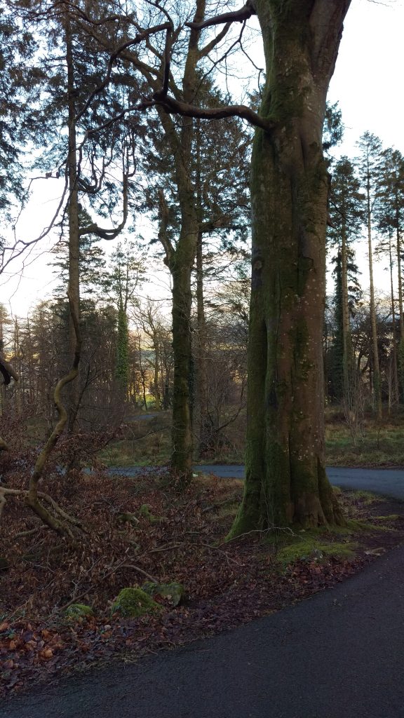
Please enjoy this week’s Touring Tuesday with James Shields!
Today we are in Slieve Gullion in the Mourne Mountains area known as the Ring of Gullion. The Mournes extend from County Down in Northern Ireland, through Armagh into County Louth in the Irish Republic. Slieve Gullion is the highest point in County Armagh at 575 metres.
Slieve Gullion was said to be the home of Cullain the metalsmith, from whom Sétanta took his name Cú Chullainn.
We arrived in the main Slieve Gullion car park in the forest park. From here there are numerous activities that can be accessed, including the Giant’s lair adventure story trail and an adventure playground.
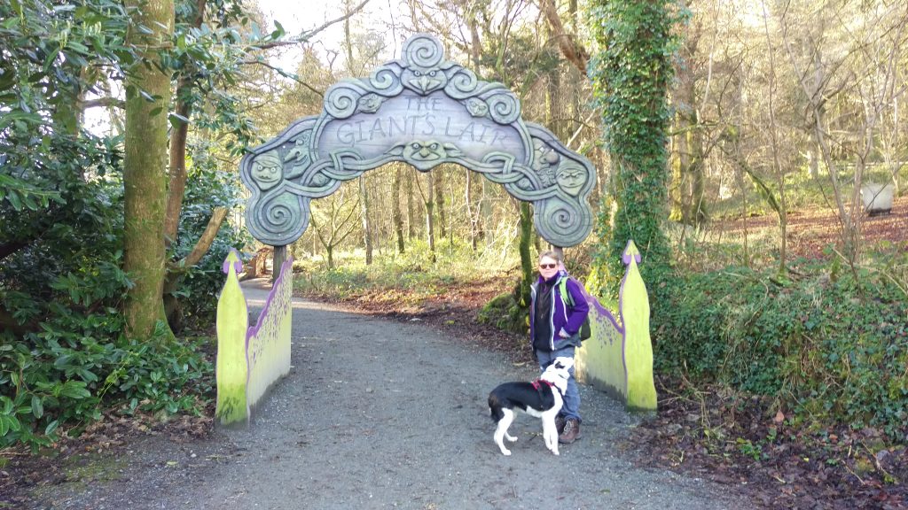
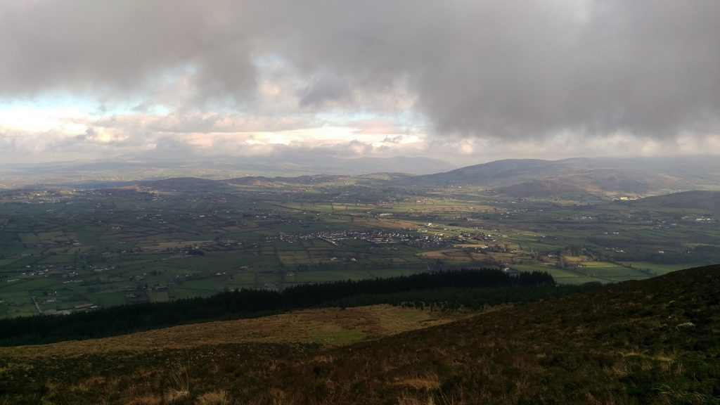
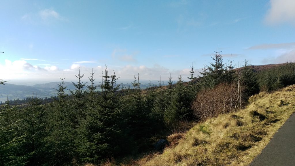
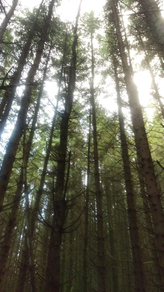
We started out on the wrong path and ended up in the Giant’s lair, so we took a shortcut through the forest to get back on track. From here, a small road headed through the forest and up the hill, with wonderful views of the countryside as we came out of the forest.
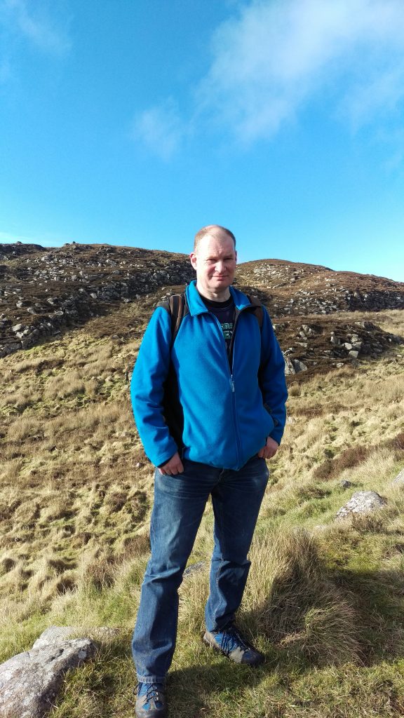
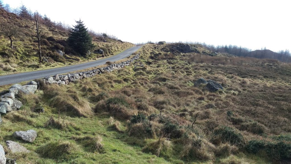
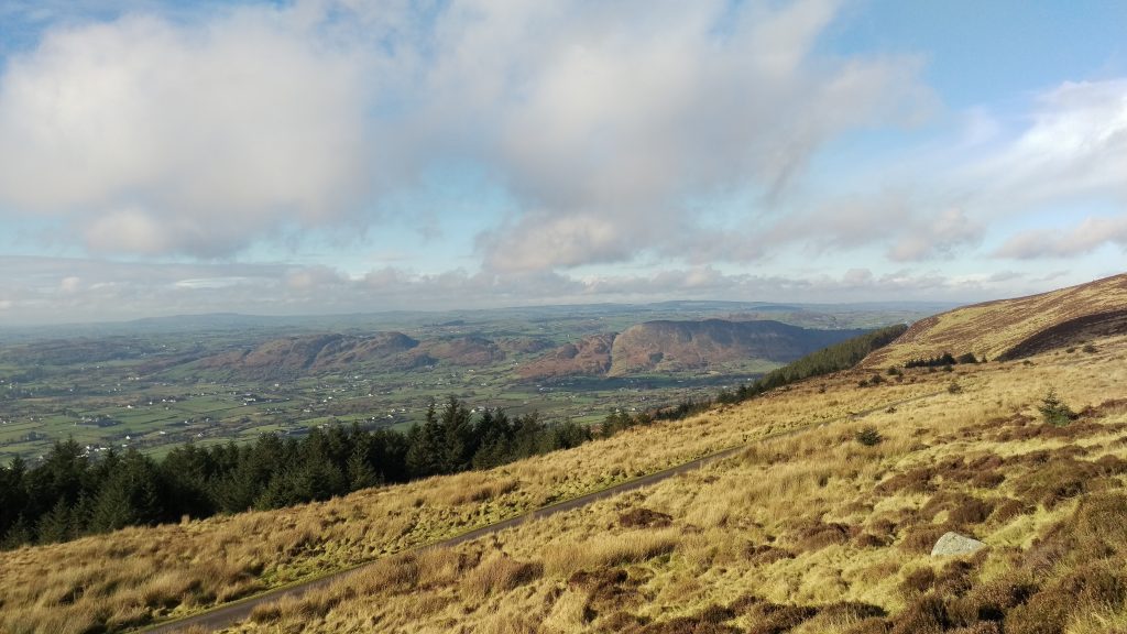
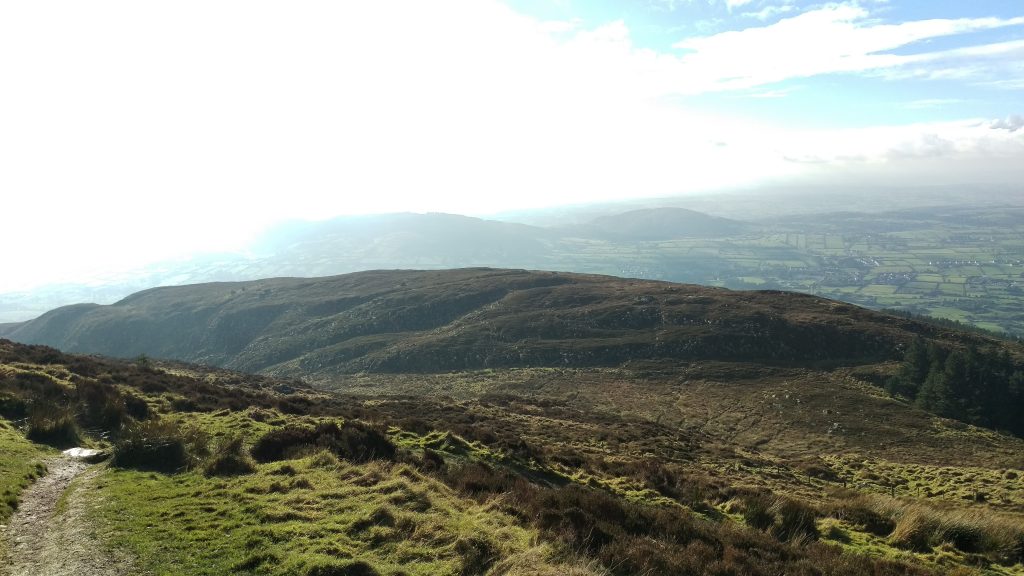
Soon we were out of the forest and the road continued, gently uphill. We arrived at the upper carpark. A couple of hundred metres further on, a narrow path turned off towards the summit. The path was rocky and uneven and sometimes quite steep, but generally not difficult.
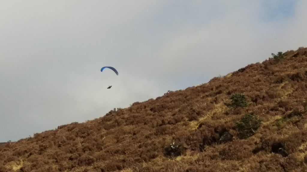
A paraglider could be seen soaring over the cliffs, which looked like fun, though we later heard mountain rescue were out because the flyer had had an accident and had broken his leg. He had to be airlifted off the mountain, which probably wasn’t the kind of fun he had been hoping for.
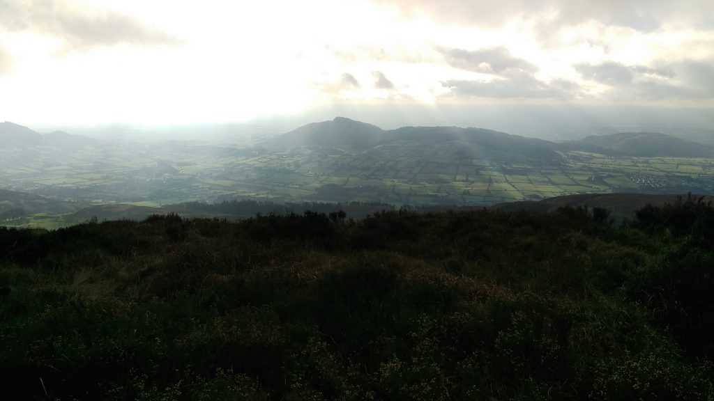
There was a rest area part way up the mountainside, with a stone shelter set into the hill. We found a nearby rock to sit on and eat our sandwiches. The weather had been lovely up to this point, with broken cloud, and lots of sunshine. However, as we ate our lunch a cloud closed in over the mountain, and from then on visibility was limited.
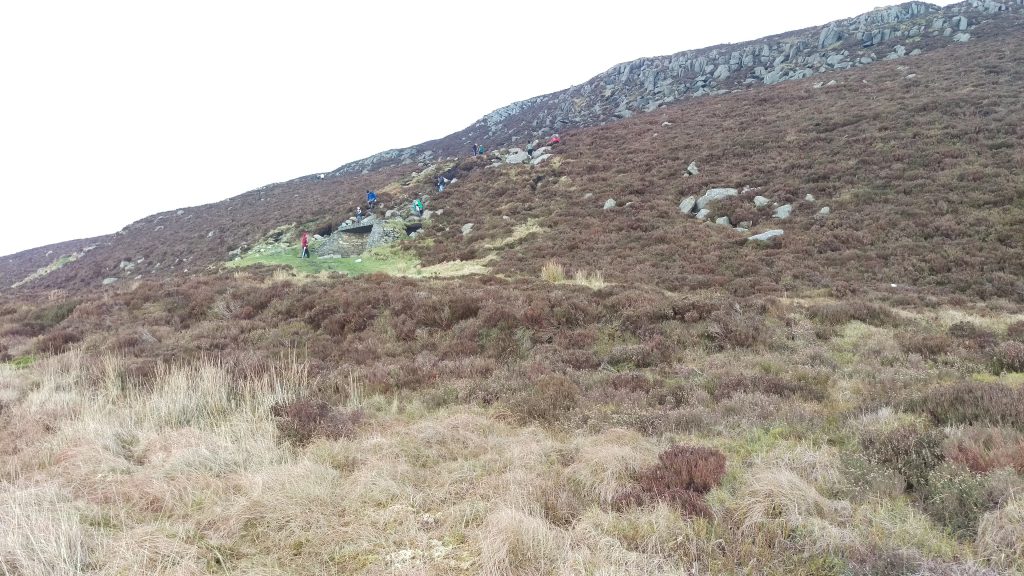
After this the terrain got a little more difficult, and we found some patches of ice, so care was needed!
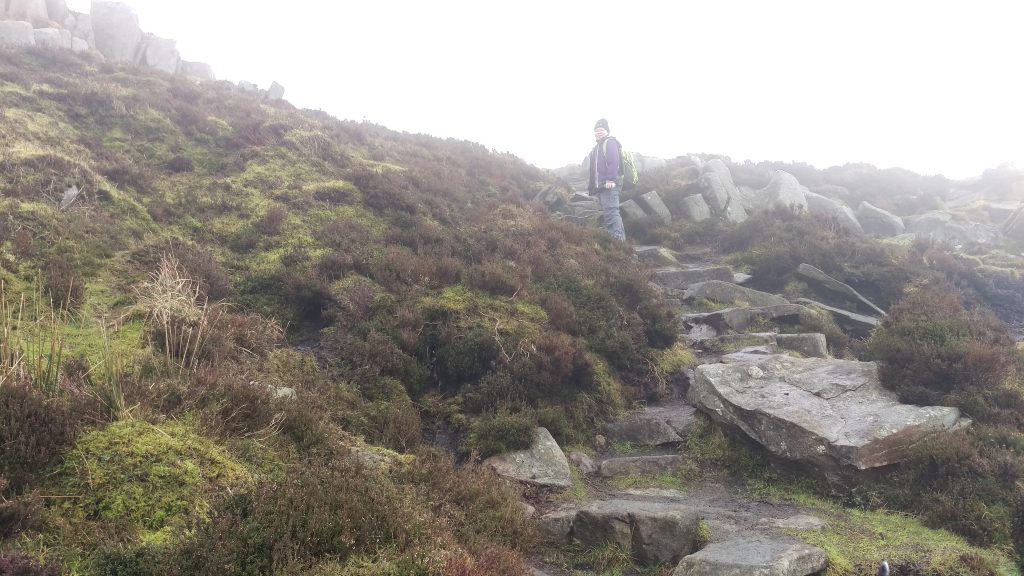
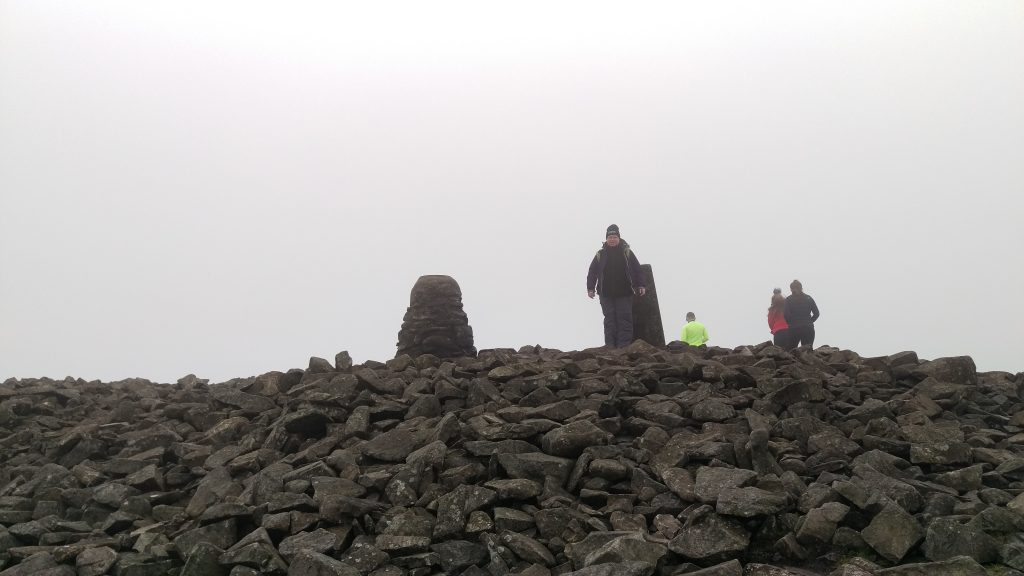
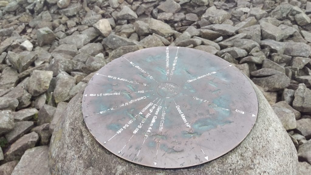
After some scrambling we made it to the peak, which was on top of a cairn. There was a bronze plaque on a stone plinth showing distances to various points, but unfortunately due to the cloud we couldn’t see any of them. Apparently on a good day you can see as far as the Isle of Man, but this was not such a day.
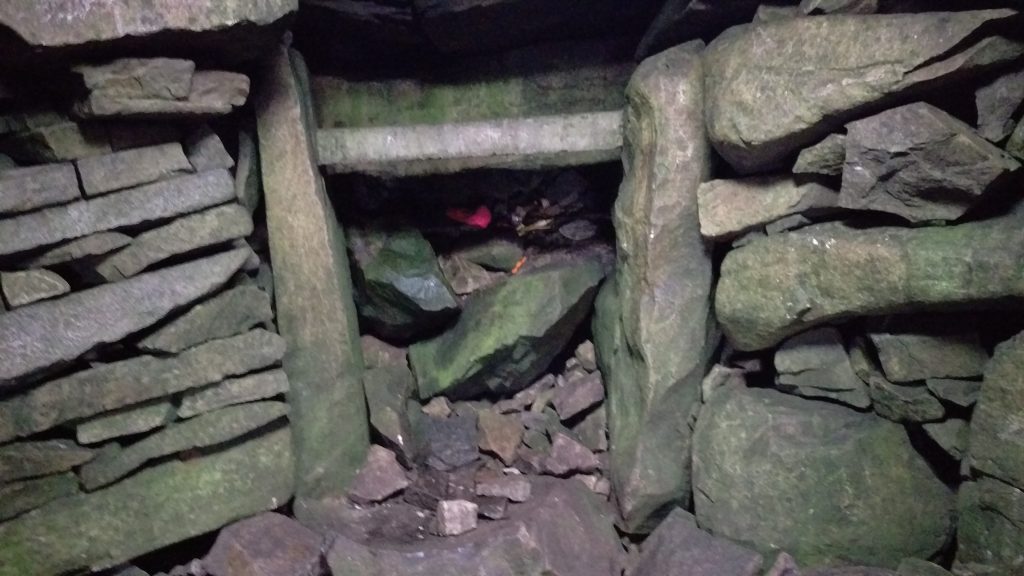
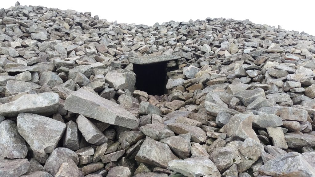
Beneath the summit was the entrance to a megalithic passage tomb. Although much smaller than the more famous Newgrange, it is the highest passage tomb in Ireland and has a similar central chamber with a corbelled roof. There was a roof window, so we could see inside (I’m not sure if this is an original feature). Sadly, people have left their own inscriptions on stones over the years.
We were intending to head towards a lake near the summit, but we got our bearings wrong and ended up missing this, so we found ourselves heading down the northeastern face of the mountain. We had to take care to keep our dog, Leia, away from the sheep grazing on the hillside.
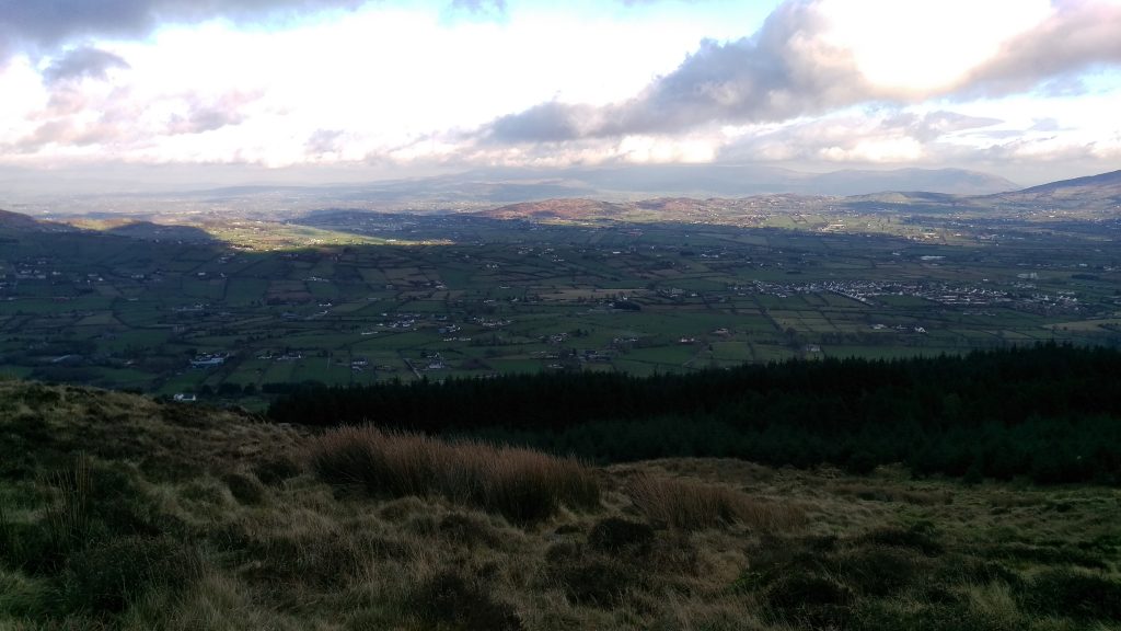
After a bit of trial and error, we found a path that took us back down to the forest, and onto the forest road. From here it was a gentle walk back to the carpark.
There are lots of walks and activities in the area and you can find out more about them at Experience Gullion.

